


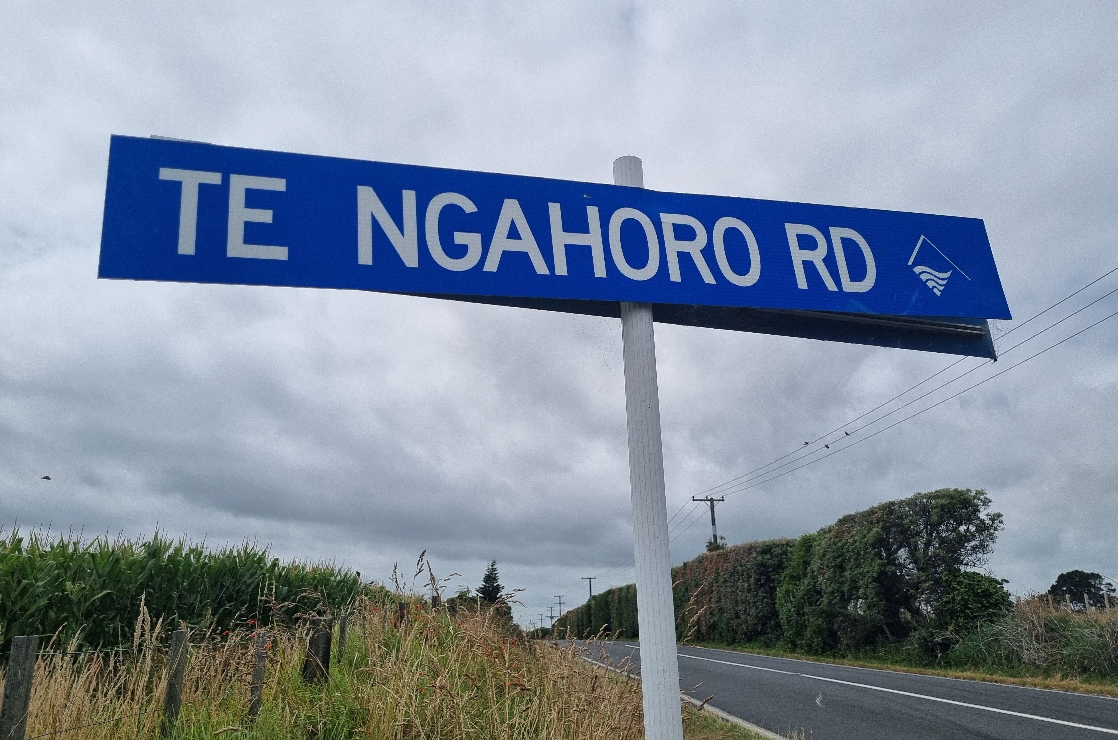
This road was named after a significant pā which once commanded a strategic position on the seaward side of the road, looking northwards to Paritūtū and south to Waireka Stream.
Archeologist Nigel Pricket described it as one of the “most visually important archaeological sites in Taranaki” due to its prominent location on the skyline and proximity to New Plymouth.
Te Ngahoro Pā was occupied by both Taranaki and Te Ātiawa iwi over the centuries. In February 1861 during the First Taranaki War the elevated site was used by members of Taranaki and South Taranaki iwi from which to fire onto nearby Ōmata Stockade.
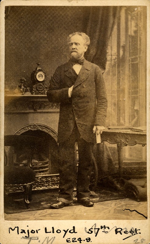
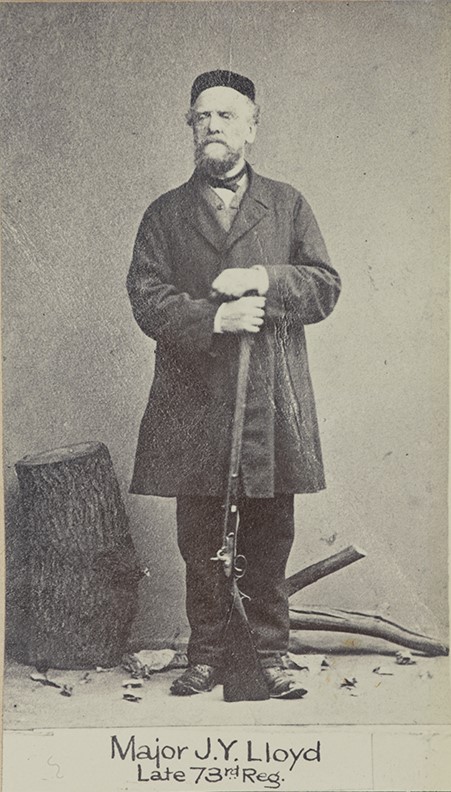
The area was acquired by the Crown in 1847 as part of the Ōmata Block then occupied by European settlers, with the pā becoming known as Major Lloyd’s Pā after the landowner Major John Yeeden Lloyd (1795-1881).
Lloyd was a member of the 73rd Regiment who had served in Europe (including at the Battle of Waterloo) and Ceylon (now Sri Lanka). He retired from military service in 1839 and was living in Devon with his wife and young children before coming to New Plymouth in 1849.
Lloyd was awarded eight different Crown Land Grants in the 1850s, large parcels of land on the coastal side of the main highway between Ōmata and New Plymouth, including that surrounding Te Ngahoro Pā. Because of his previous military experience, he was made commander of the Taranaki Militia in 1858 but left New Zealand around 1861 to return to England and never came back.
At some stage part of the pā site was used as a quarry which resulted in the destruction of one of its two occupation platforms.
The road itself first appeared on maps in 1893 when it was simply called ‘roadway’. However, from 1900 it was recorded as Te Ngahoro Road. Up until 1871 the road, or track, may have run all the way into town, across Herekawe Stream, but in March of that year the Provincial Council passed a bill closing it, to prevent its use by people wishing to evade the Whalers Gate toll gate.
After this time, the road was primarily used as a stock race until 2010 when it was formally constructed as part of a new subdivision.
This story was originally published in the Taranaki Daily News.
Books and Articles
Maori Fortifications of the Omata and Oakura Districts, Taranaki, Nigel Prickett (1980), p.4
Nga korero o Te Ngahoro: Two stories of a Taranaki Pa by Nigel Prickett. Newsletter (New Zealand Archaeological Association), Mar 1983; v.26 n.1:p.24-30.
Please do not reproduce these images without permission from Puke Ariki.
Contact us for more information or you can order images online here.


