

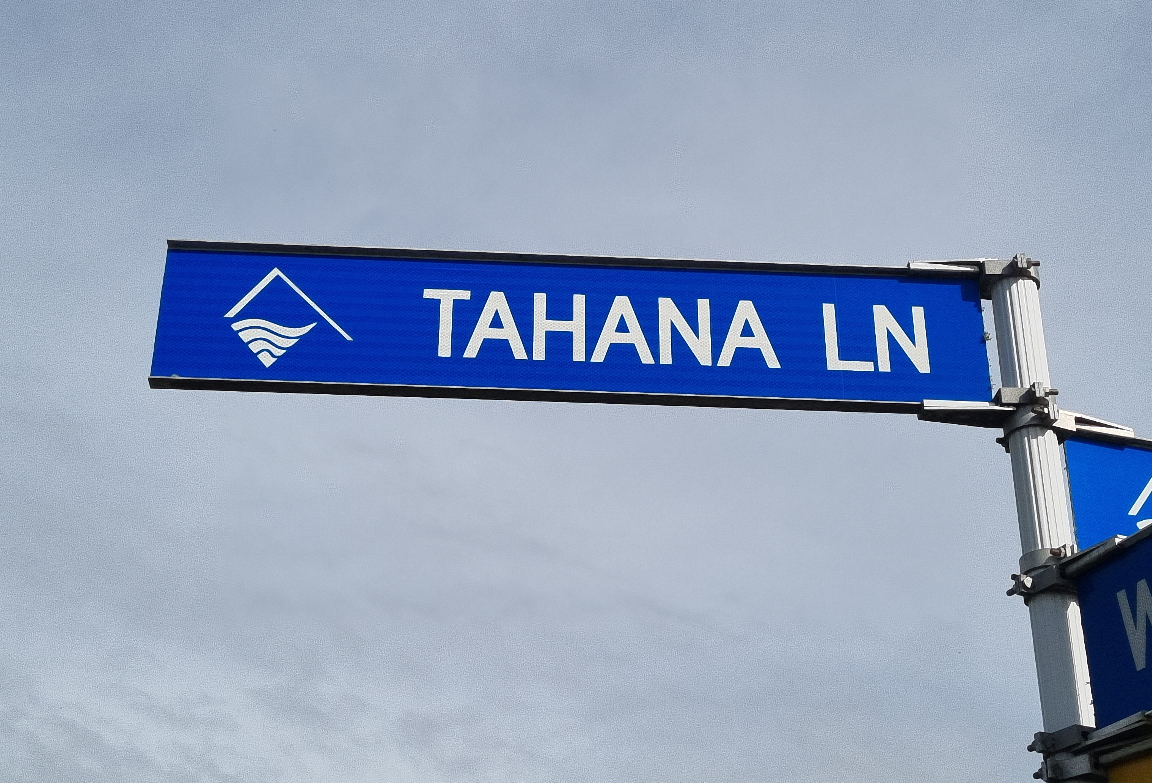
Tahana Lane in Bell Block was created from a portion of the old Devon Road which remained after the Bell Block Bypass was constructed in the early 2000s, forming a multi lane highway avoiding the township.
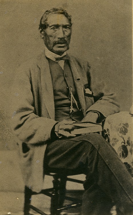
It was named after a Puketapu Rangatira with deep ties to this area and was proposed by the late Joe Broughton of Te Atiawa at a New Plymouth District Council hearing in 2010. He said using the Tahana name for the road connected it to the iwi of the 1800s. “He (Tahana) was a scholar, not a warrior and worked for the Government.”
Tahana Papawaka lived through a turbulent and transformative period in Taranaki’s history. Present at many pivotal events from the 1840s to the 1880s, such as, the return of iwi to ancestral lands from their refuge at the bottom of the North Island, the Puketapu feud, and the Taranaki Wars, he navigated complex responsibilities and relationships during a time of conflict, land loss, and immense social change.
As chief of the Puketapu hapū of Te Ātiawa, Tahana resided at Hua Pā. He was widely respected for his intellect and was appointed a Native Assessor by the Crown, a role in which he supported local magistrates and assisted in legal matters involving Māori communities. He also assisted the Crown in its dealings with other iwi. In his later years he spent time at Parihaka and became associated with the Te Whiti o Rongomai’s non-violent resistance.
Tahana appears to have been residing at Parihaka before his death, but when he became unwell, he returned to Puketapu land, dying at Mangaone Pa, on 2 September 1884. Just before he died, over 200 people travelled from Parihaka to farewell him, a sign of his high esteem.
A local newspaper noted at the time of his death that; “it is doubtful if any will speak a word wrong of Te Tahana whose life was spent in trying to secure the peace of the country and justice to his people.” His nephew was Wiremu Tahana who married Mary Bishop.
There is one other road that memorialises the Tahana name. Tahana Road, off Dorset Rd, is an unformed road that leads to several properties. A 38 hectare (94 acres) block of land to the east of this road was granted to Tahana Papawaka as a Crown Grant in 1867.
This story was originally published in the Taranaki Daily News.
Related Documents
DP 2240, Institute of Cadastral Surveying (Inc)
ML 245, Institute of Cadastral Surveying (Inc)
Letter from Rawiri Waiaua, Te Tehana and others to chief of Ruanui, (1851) National Library NZ, MS-Papers-0032-06751-06
Please do not reproduce these images without permission from Puke Ariki.
Contact us for more information or you can order images online here.
The information on this website is provided for general research and reference only. While we try to keep content accurate and current, we make no guarantees about its completeness or correctness. It should not be considered a replacement for a LIM or a Property Report. Some content is supplied by third parties. Puke Ariki has not verified this content and users should check its accuracy before relying on it.The inclusion of a building on the website does not imply heritage status. See SCHED1 in the NPDC District Plan for a list of buildings that have rules about what can happen to or around them (administered by NPDC). See the New Zealand Heritage List for a list of buildings that are celebrated for their heritage significance but are not subject to rules (administered by Heritage New Zealand Pouhere Taonga). Should any corrections need to be made to the records or for more information please contact us.


