


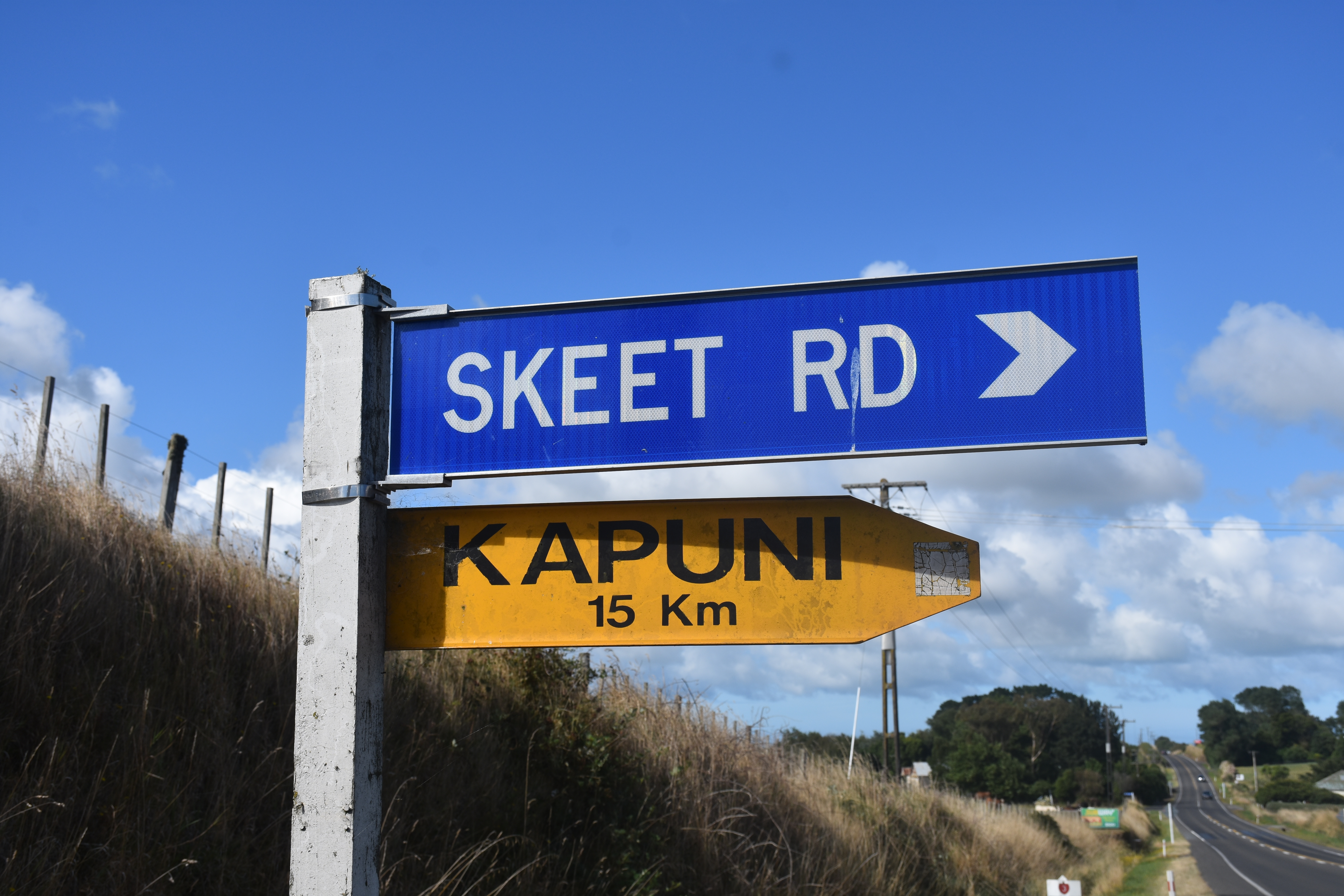
Skeet Road in South Taranaki is a major road linking the west coast with the inland State Highway 3 and intersects the settlements of Te Roti, Matapu, Kapuni and Auroa while passing close to the historical reserve and site of Riwha Tītokowaru’s former pā, Te Ngutu o te Manu.
It’s formation, like many of the roads in this district, is tied up with the controversial survey of the Waimate Plains 140 years ago.
The road was named after either surveyor Harry May Skeet - who was employed to survey the plains in 1878-1880 - or his father, Harry Lufkin Skeet. Harry Skeet senior at the time of the Waimate Plains survey was in charge of the West Coast Royal Commission which was conducting the survey for the Crown.
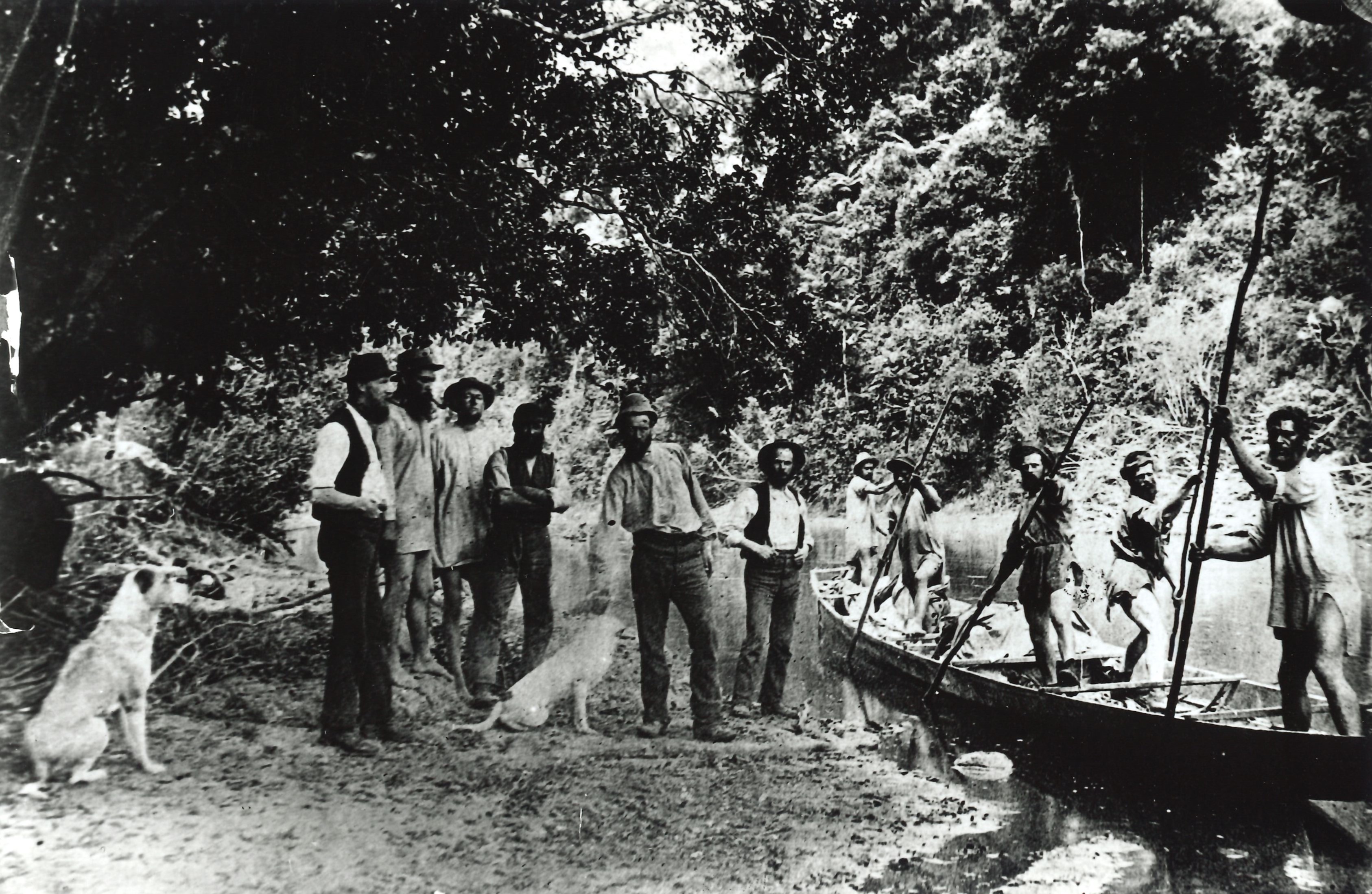
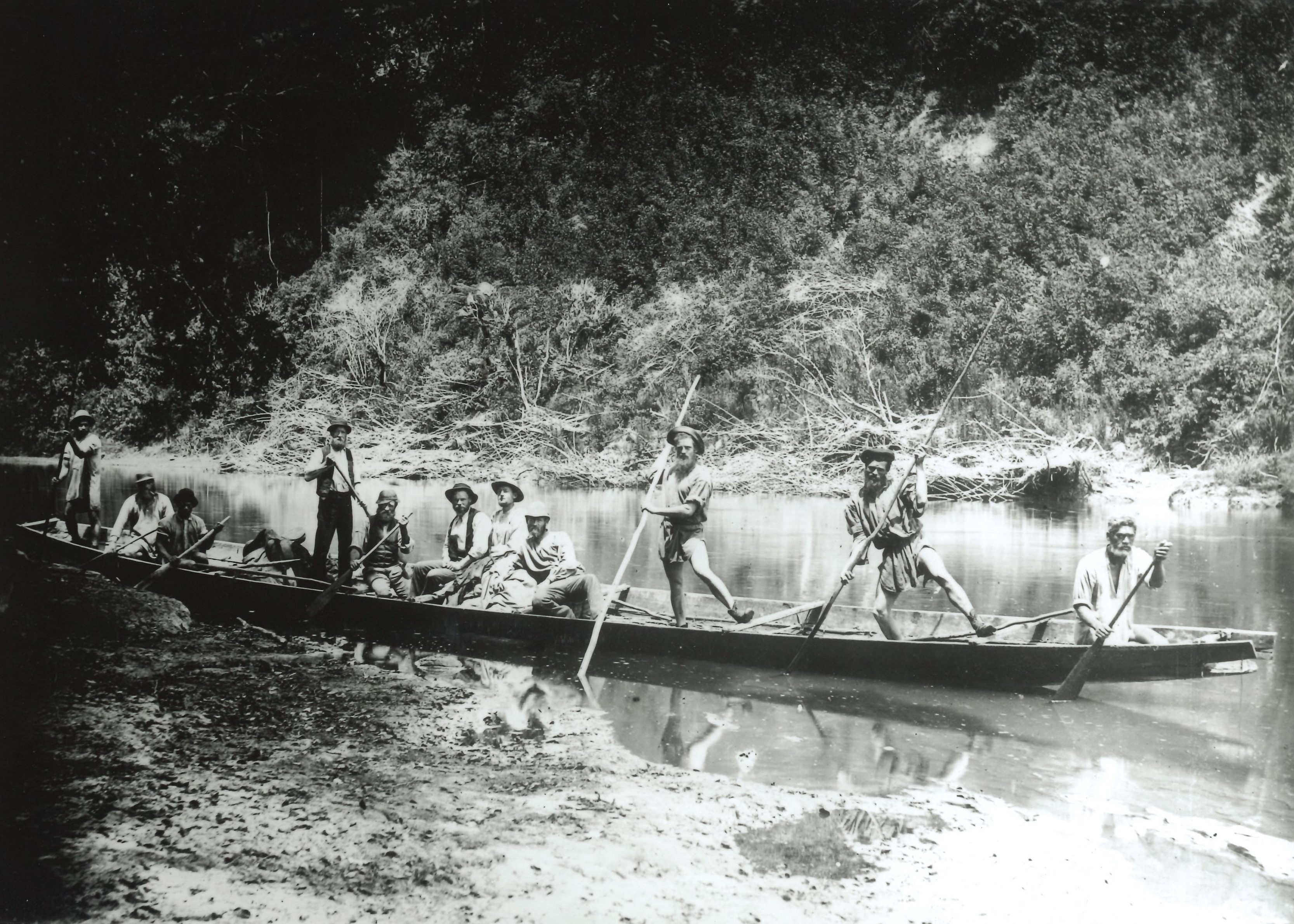
Harry Skeet junior was one of a group of surveyors who, while attempting to survey the Waimate Plains, were gently but firmly removed by Tītokowaru’s iwi and followers of Te Whiti o Rongomai and Tohu of Parihaka, and placed, along with their possessions, on the east side of the Waingongoro River.
This action, along with the ploughing survey lines and erecting fences by the people of Parihaka momentarily stalled the survey of the plains. Many of those involved with this resistance were arrested and held without trial in the South Island. In November 1881 the Government invaded Parihaka. Many of it’s inhabitants were arrested or driven away and the much of the village was demolished.
Before this, however, the surveying of the Waimate Plains resumed. Sections of land were listed for sale as early as February 1881.
Harry Skeet senior had been involved in surveying the Napier district and Nelson province in the 1860s. In 1871 he was transferred to New Plymouth where he was in charge of surveying the confiscated land in South Taranaki. Soon after this he became Chief Surveyor of the Land Purchase Department. He died a few years after the Waimate Plains survey, in 1882.
His son Harry had been trained by his father as a surveyor and joined the Lands and Survey Department in Taranaki in 1876. He was responsible for many important surveys of the district over many years including the first topographical survey of Taranaki Maunga and Te Papakura o Taranaki. He moved to Auckland and became the commissioner and chief surveyor. He died in 1943.
This story was originally published in the Taranaki Daily News.
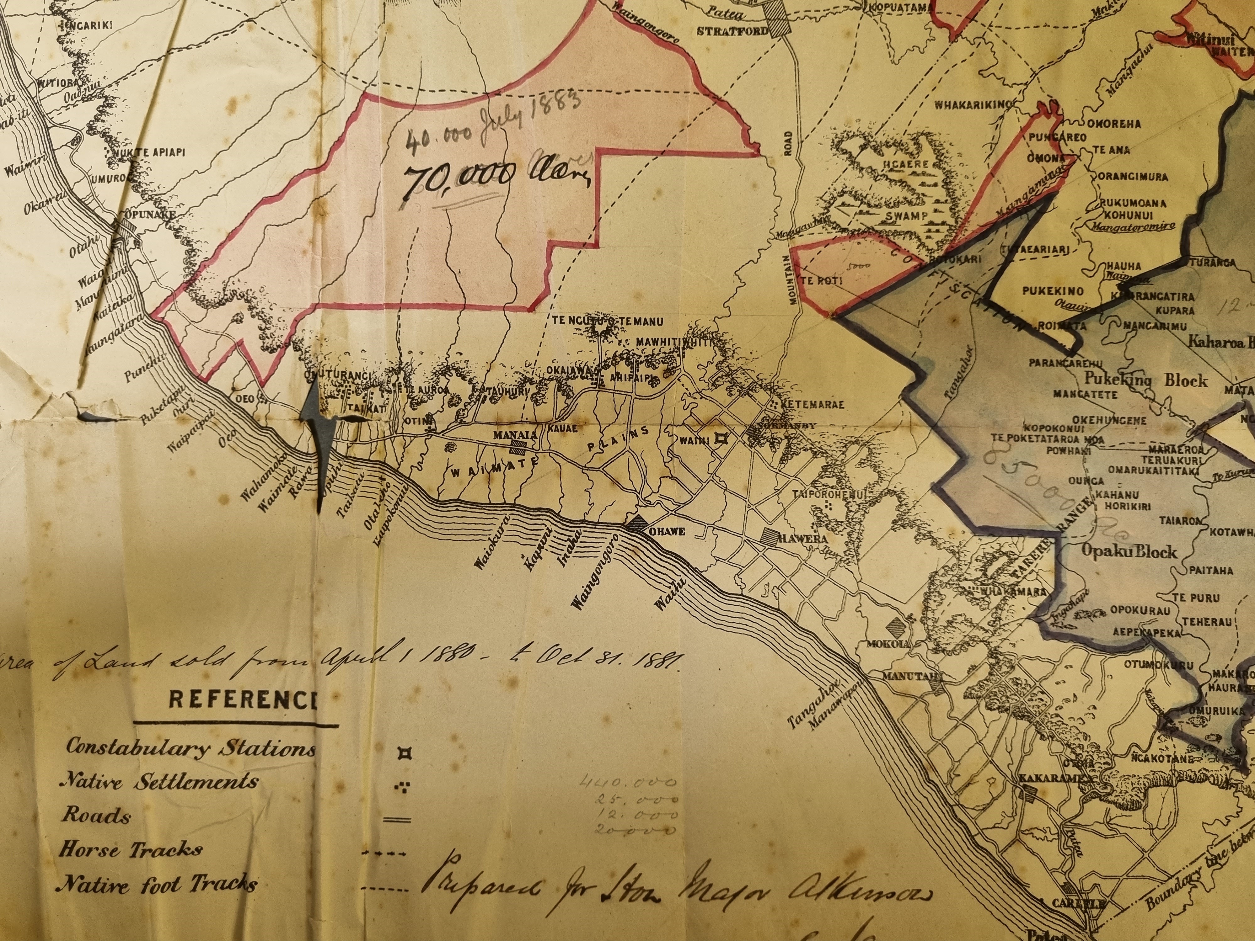
Map issued to advertised the sale of land near Skeet Rd, 1881
LinkARC2004-296 Topo plan of Mt Egmont by HM Skeet 1904
LinkARC2005-51 Topo plan of Mt Egmont 1900 by MH Skeet
LinkARC2005-49 Topo plan of Mt Egmont 1901 by HM Skeet
LinkARC2002-107 Skeet and Finnerty letters
LinkARC2002-104 Harry Skeet survey books
LinkARC2002-295 Surveyors attached to the New Plymouth office
LinkNgarie Survey District ARC2006-008
LinkACR2006-33 Waimate Plains, plan illustrating report of Royal Commission, 1880
LinkPlease do not reproduce these images without permission from Puke Ariki.
Contact us for more information or you can order images online here.
The information on this website is provided for general research and reference only. While we try to keep content accurate and current, we make no guarantees about its completeness or correctness. It should not be considered a replacement for a LIM or a Property Report. Some content is supplied by third parties. Puke Ariki has not verified this content and users should check its accuracy before relying on it.The inclusion of a building on the website does not imply heritage status. See SCHED1 in the NPDC District Plan for a list of buildings that have rules about what can happen to or around them (administered by NPDC). See the New Zealand Heritage List for a list of buildings that are celebrated for their heritage significance but are not subject to rules (administered by Heritage New Zealand Pouhere Taonga). Should any corrections need to be made to the records or for more information please contact us.


