


Many sports fans think Rugby Road, Tariki, is named after their favourite game. In fact, like many roads in the area, it’s named after a location in England.
Settlers began clearing native bush in the area in the 1870s and the land was sold for farming. Progress was slow and fires were a constant threat, the most dangerous of which swept through the area in February 1890.
By the middle of that decade, the number of farms and people living in the area had increased significantly. The road was metalled and a small diary factory was built near the main road corner. In 1902 there was a petition for a school to be built.
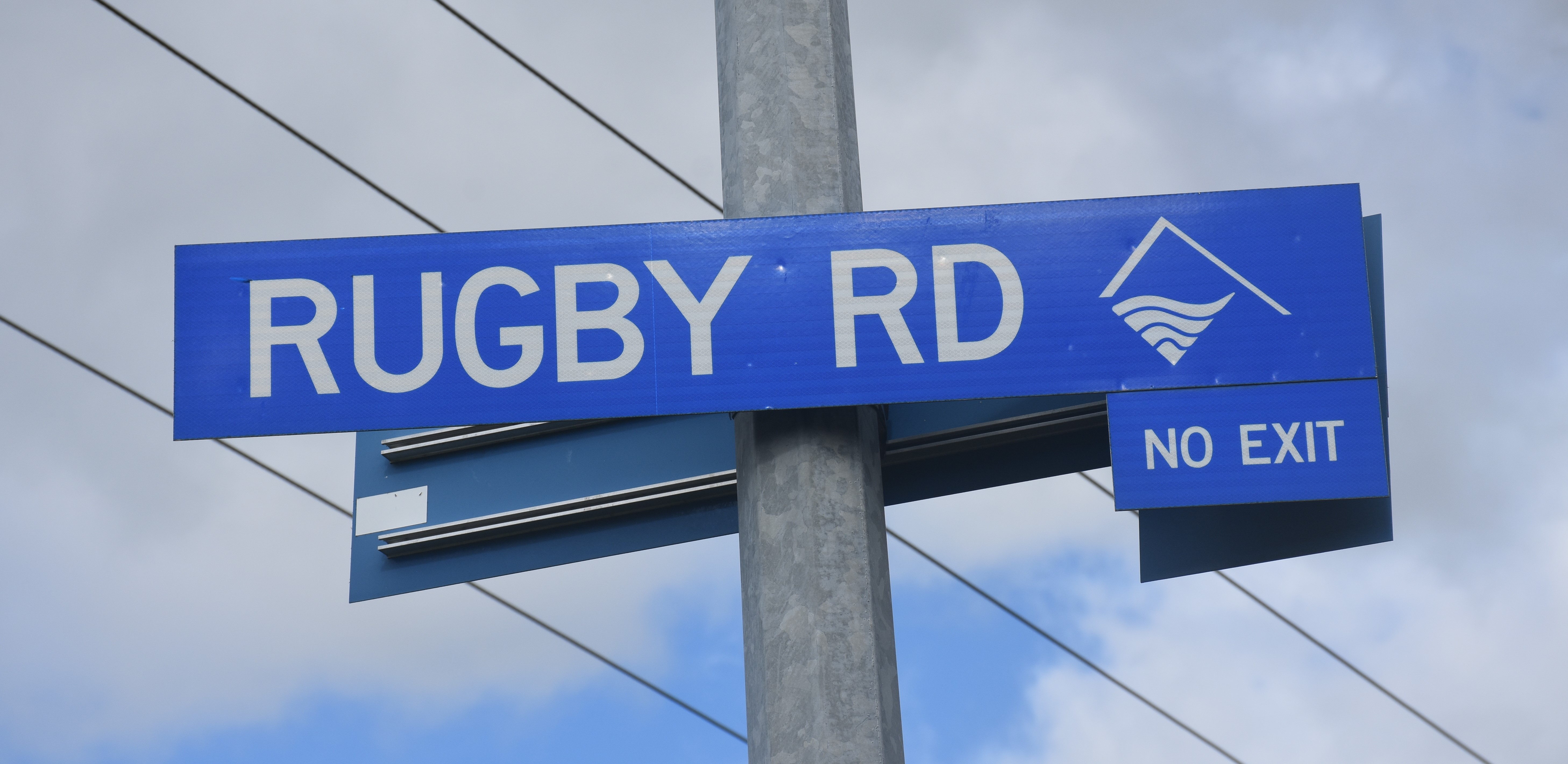
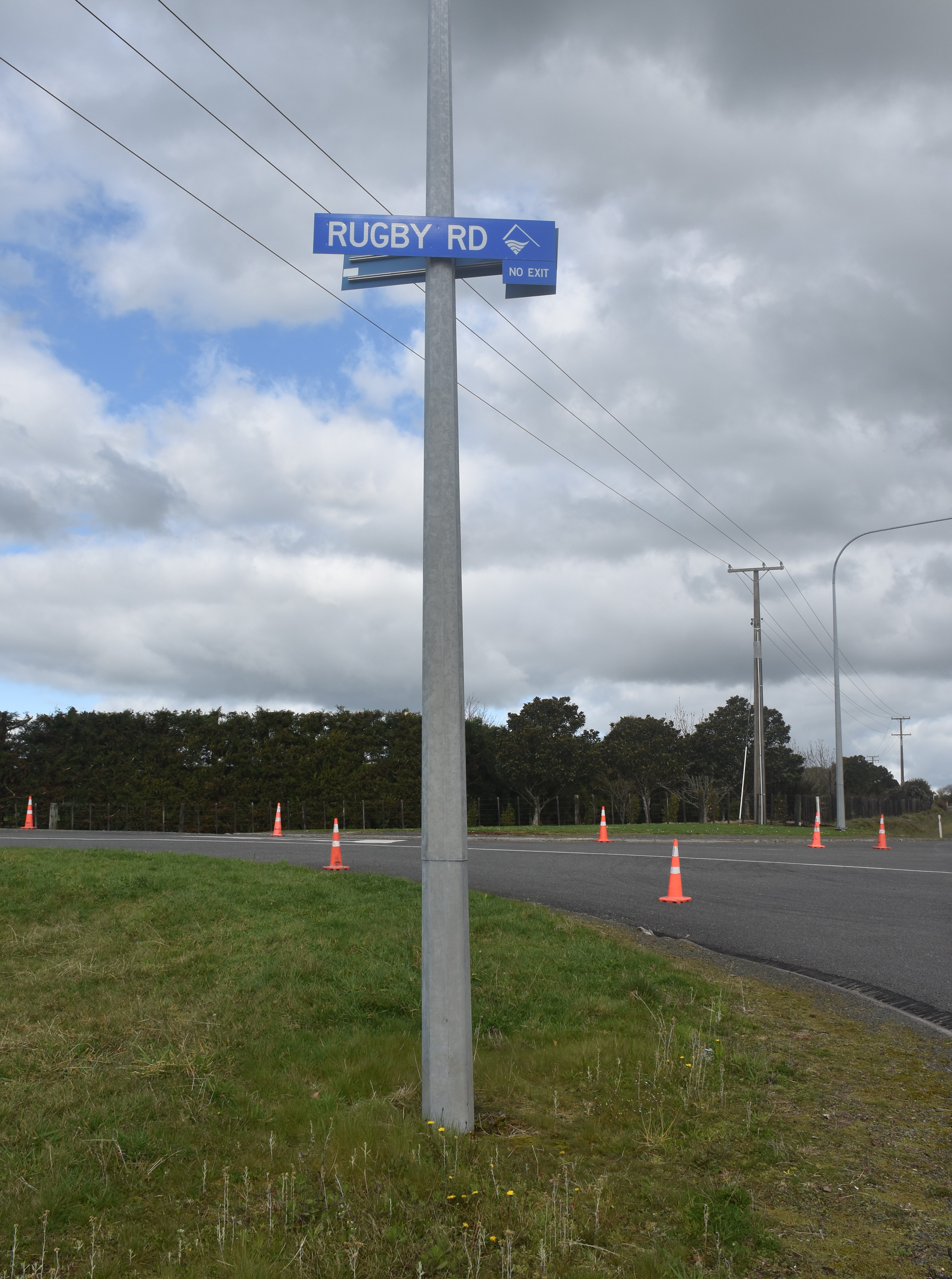
The road remains a no exit today. However, the first survey plans show it was intended to connect with Ross Road and carry on north to Norfolk Road.
In the early years, Rugby Road’s intersection with the main road was part of a sharp s-bend, with the railway line running through the middle. In the 1920s, as the number of cars on the road increased rapidly, there were several accidents there and concerns mounted about safety. In 1931, a light was installed at the intersection to alert motorists.
As early as 1925, a new road layout had been proposed. The main road would be extended, downhill, through to a cutting in a bank, and at that point the railway line could pass over the top of the main road. It would in time become known as the Rugby Road underpass. Rugby Road’s intersection with the main road was moved to a point south of the underpass.
The work didn’t start until 1939. With ever more traffic and larger trucks, the underpass was widened in 2010.
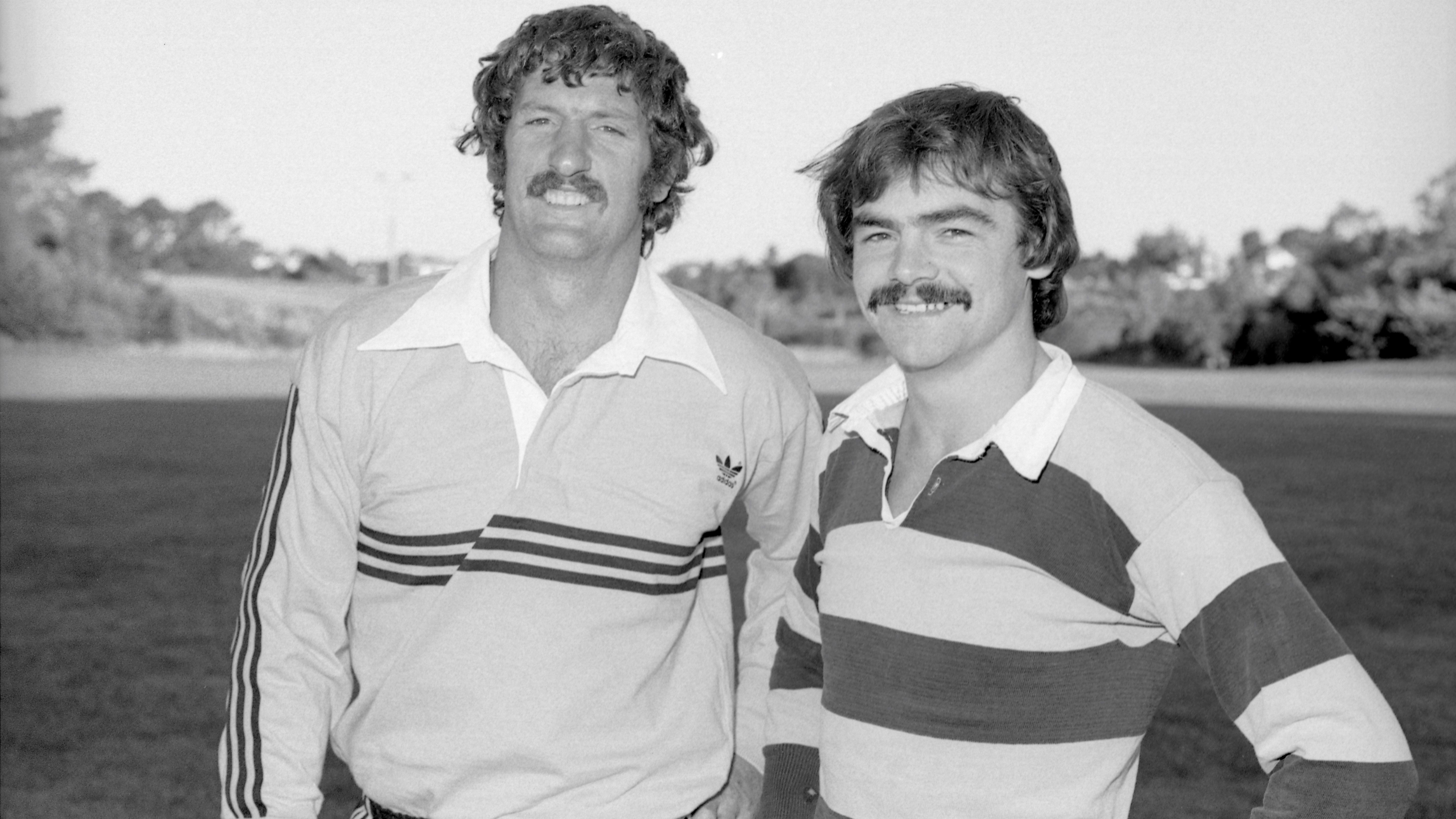
In the late 1970s, Rugby Road was well known for rugby reasons. Many sports fans knew popular Taranaki and All Black halfback David Loveridge lived there. Eventually, the road sign had to be put atop a higher pole, discouraging rugby fans from attempting to steal it for a souvenir.
This story was originally published in the Taranaki Daily News.
Related plans:
Taranaki SO385 Sheet 1 (1875), ICS Pre 300,000 Cadastral Plan Index (Imaged by LINZ)
Taranaki DP3583 Sheet 1 (1917), ICS Pre 300,000 Cadastral Plan Index (Imaged by LINZ)
Taranaki SO7835 Sheet 1 (1939), ICS Pre 300,000 Cadastral Plan Index (Imaged by LINZ)
Please do not reproduce these images without permission from Puke Ariki.
Contact us for more information or you can order images online here.


