

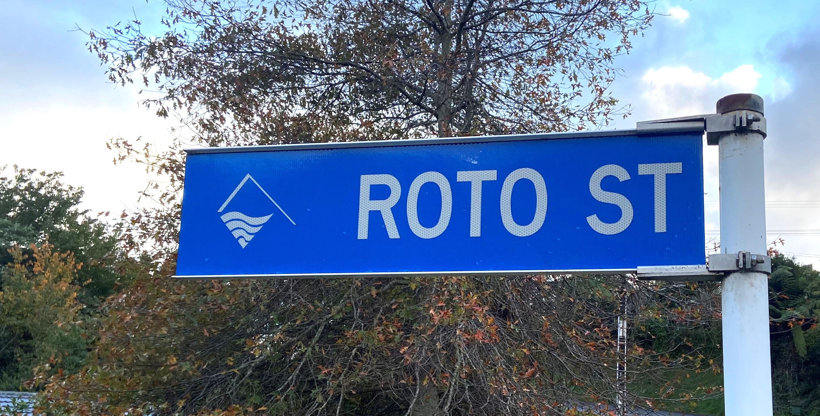
Roto Street in Westown drops steeply downhill from Wallath Road toward Barrett Domain before wending its way along the valley to connect with Davies Road.
The name is a contraction of the original name for Barrett Lagoon, Rotokare, meaning ‘rippling waters’. In 1934 the Geographic Board of New Zealand officially changed the name of the lagoon to avoid confusion with Lake Rotokare near Eltham.
It is unclear exactly when the road was named, however it was first marked on a Lands & Survey map dated 1948. At this stage the road was merely a stub, running a short way down the hill from Wallath Road and finishing just past the old Cowling homestead on the right. It was not until the 1960s that work began to improve access to Barrett Domain, described at the time as being “little-known and seldom used”.
In the early 1970s part of the domain was vested as a public road, finally linking the reserve with Wallath Road. It also allowed access to land on the south side of the road for development. This did not take long, with 17 sections surveyed on Roto Street and the newly created Cedar Place in 1977.
It was not until the 1990s that work began on the final part of Roto Street, extending it from Cedar Place and Redwood Crescent (formed in the late 1980s) to connect with Davies Road. Over the next decade sections were sold, houses built and gardens developed.
Effie Legge was one of those who moved into the subdivision and she spoke to the Taranaki Daily News in 2012 about her excitement at the decision. A volunteer for Riding for the Disabled, based in Barrett Domain, she knew the area well and in 2004 noticed sections selling for $30-50,000. She wasted no time purchasing one, building and laying out a beautiful garden.
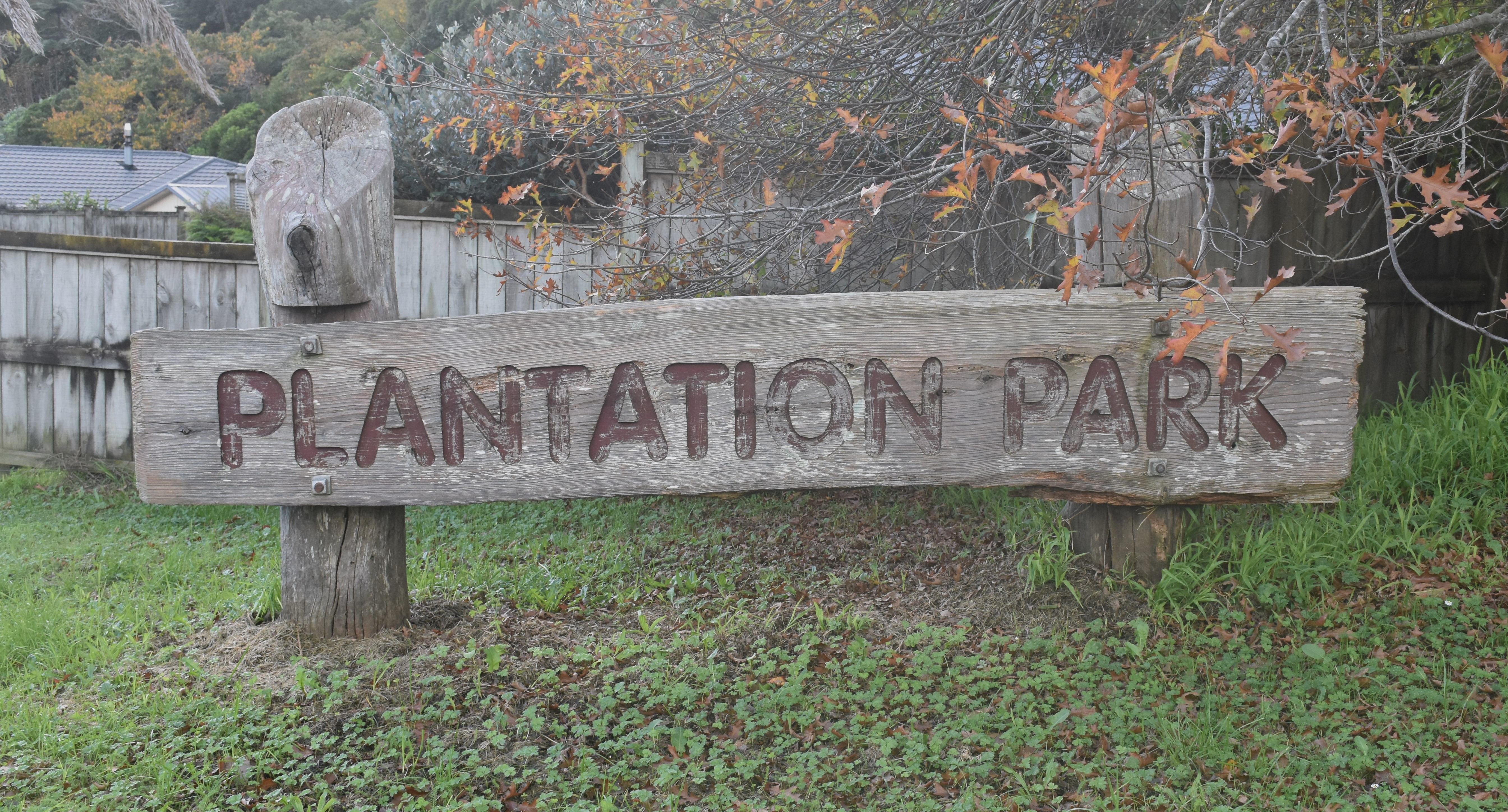
A large wooden sign at the Davies Road entrance to Roto Street announces that you are entering Plantation Park, and it was probably green-fingered residents like Effie that the developers envisaged when giving it this name. It is also likely to be a nod to local horticultural firm Duncan & Davies, whose nurseries once extended over a large part of upper Westown.
This story was originally published in the Taranaki Daily News.
Related items:
Taranaki SO891 Sheet 1 (1893), ICS Pre 300,000 Cadastral Plan Index (Imaged by LINZ)
Taranaki SO36 10A Sheet 1 (1895), ICS Pre 300,000 Cadastral Plan Index (Imaged by LINZ)
Taranaki SO36 6A Sheet 1 (1904), ICS Pre 300,000 Cadastral Plan Index (Imaged by LINZ)
Taranaki DP12604 Sheet 1 (1977), ICS Pre 300,000 Cadastral Plan Index (Imaged by LINZ)
Improvements to domain (Taranaki Herald 7 April 1964)
Work on road in Barrett Domain (Taranaki Herald 29 September 1965)
A DIY model of success, page 13 and page 14 (Taranaki Daily News 31 August 2012)
Please do not reproduce these images without permission from Puke Ariki.
Contact us for more information or you can order images online here.


