


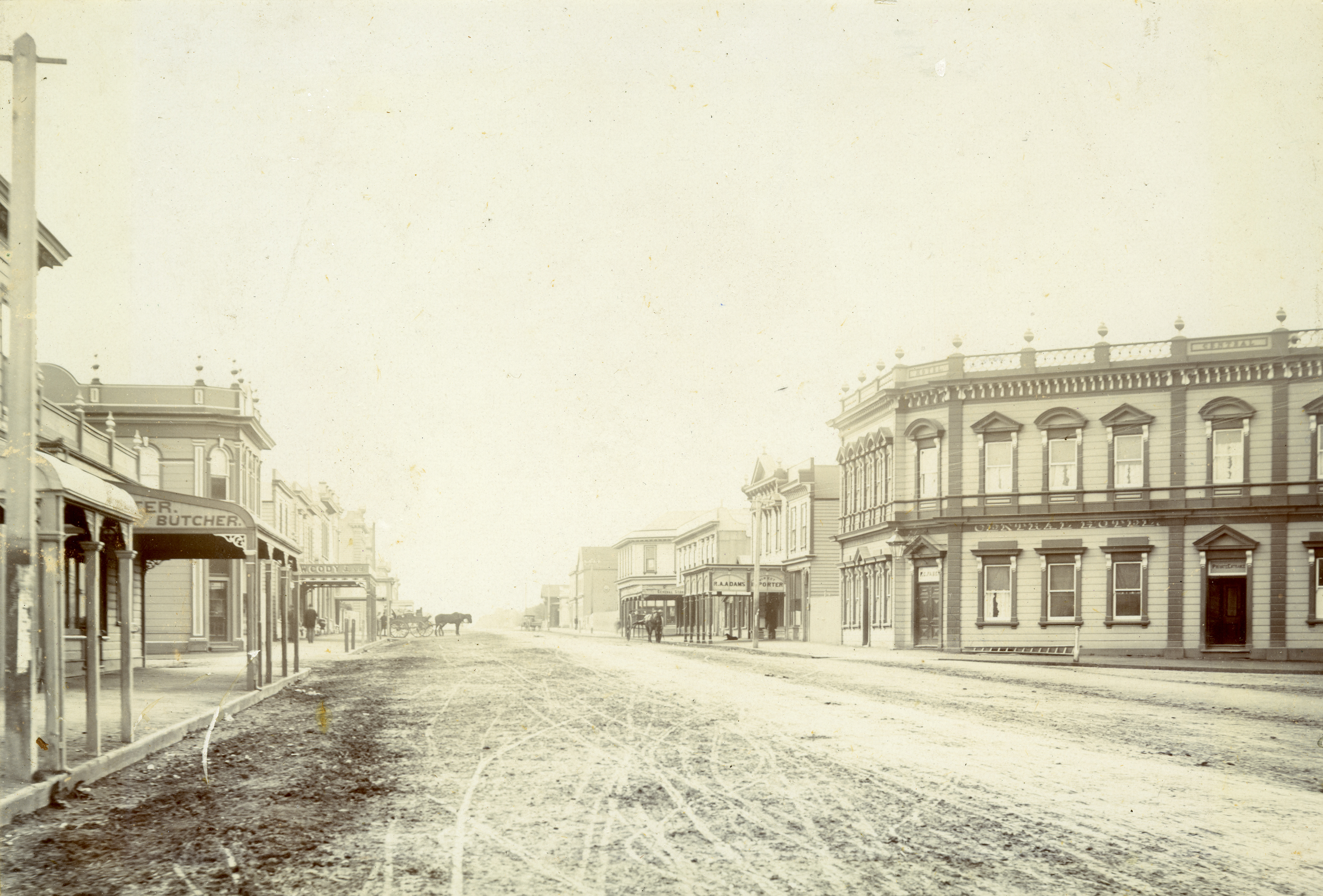
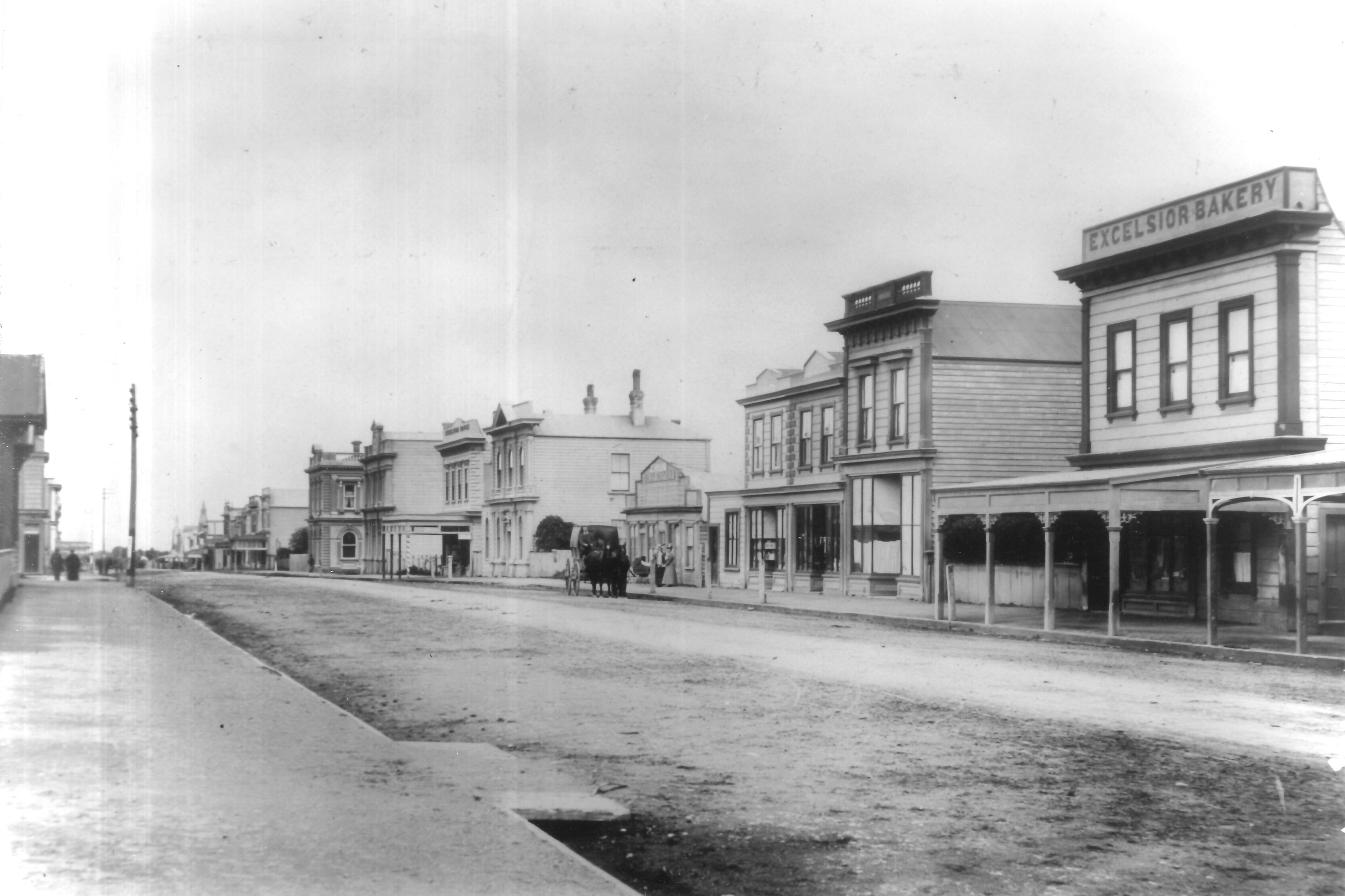
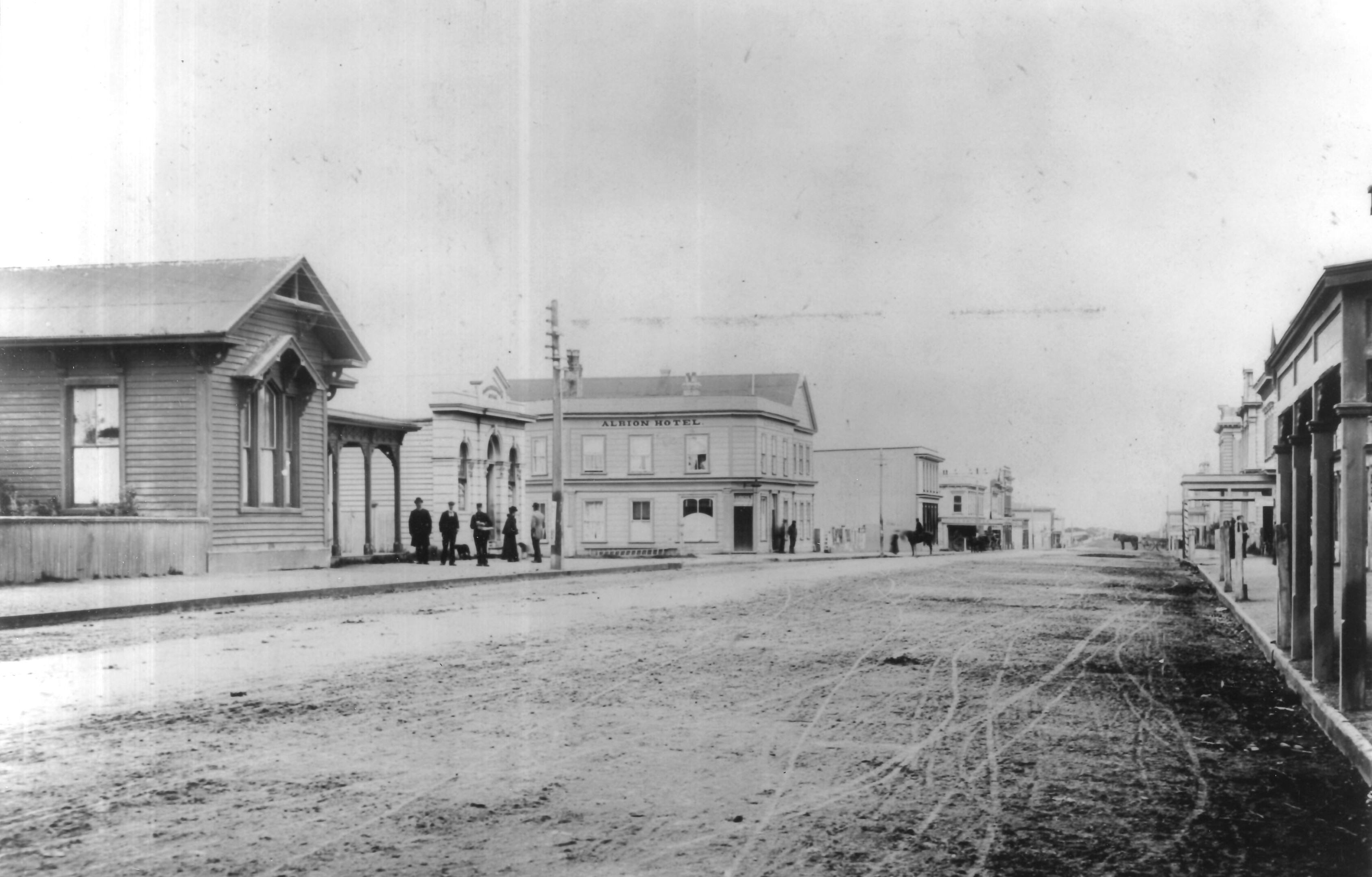
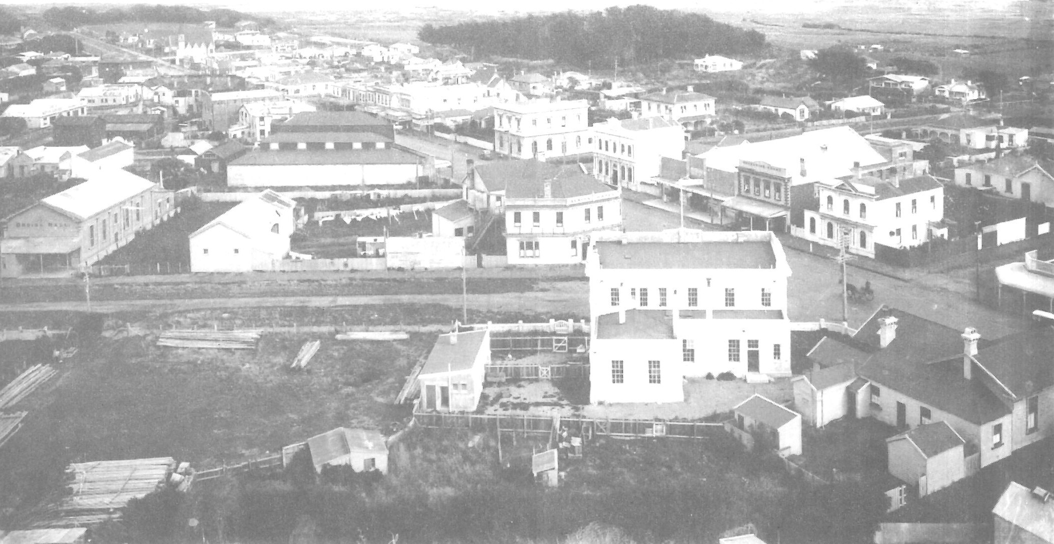
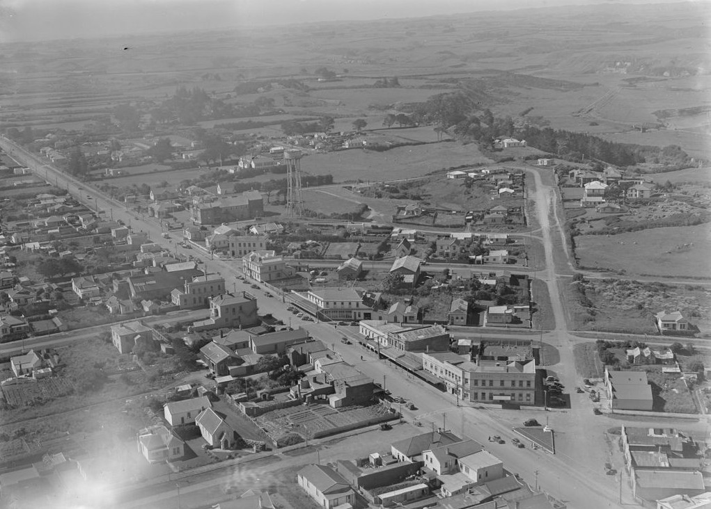
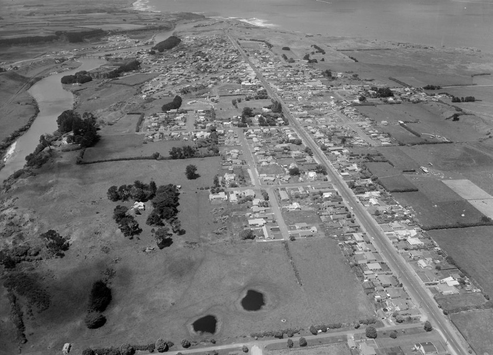
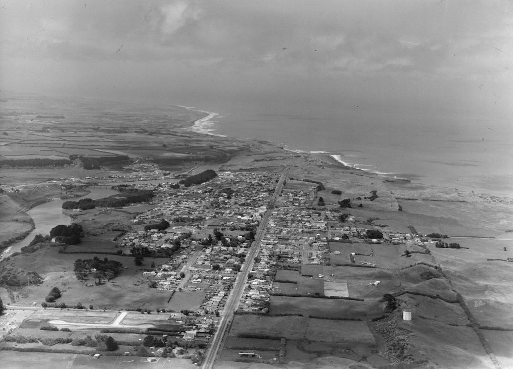
Driving along Egmont Street in Pātea on a clear day provides a spectacular view of Taranaki Maunga.
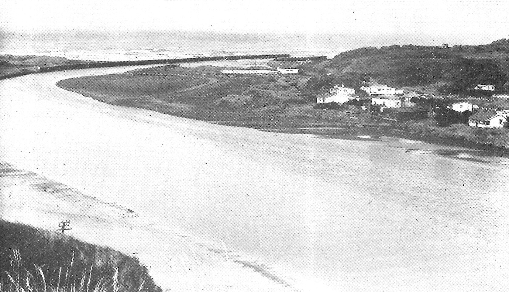
This was precisely the intention of surveyor Stephenson Percy Smith (1840-1922) when he laid out his plan for the town in November 1867. Smith relocated a small Pākehā settlement from the sandhills at the mouth of the Pātea River, where British troops lived in tin huts and constructed a redoubt on the nearby cliff, to its present site. Hostilities between local Māori and Imperial and colonial forces ceased in 1869 and sections began to be sold the following year. Businesses moved up the hill from York Street, previously the busiest in town, to Egmont Street and the population leapt from around 170 to more than 1000 over the next decade.
The settlement had originally been given the name Carlyle, but this was never popular and was officially changed back to Pātea in 1881.
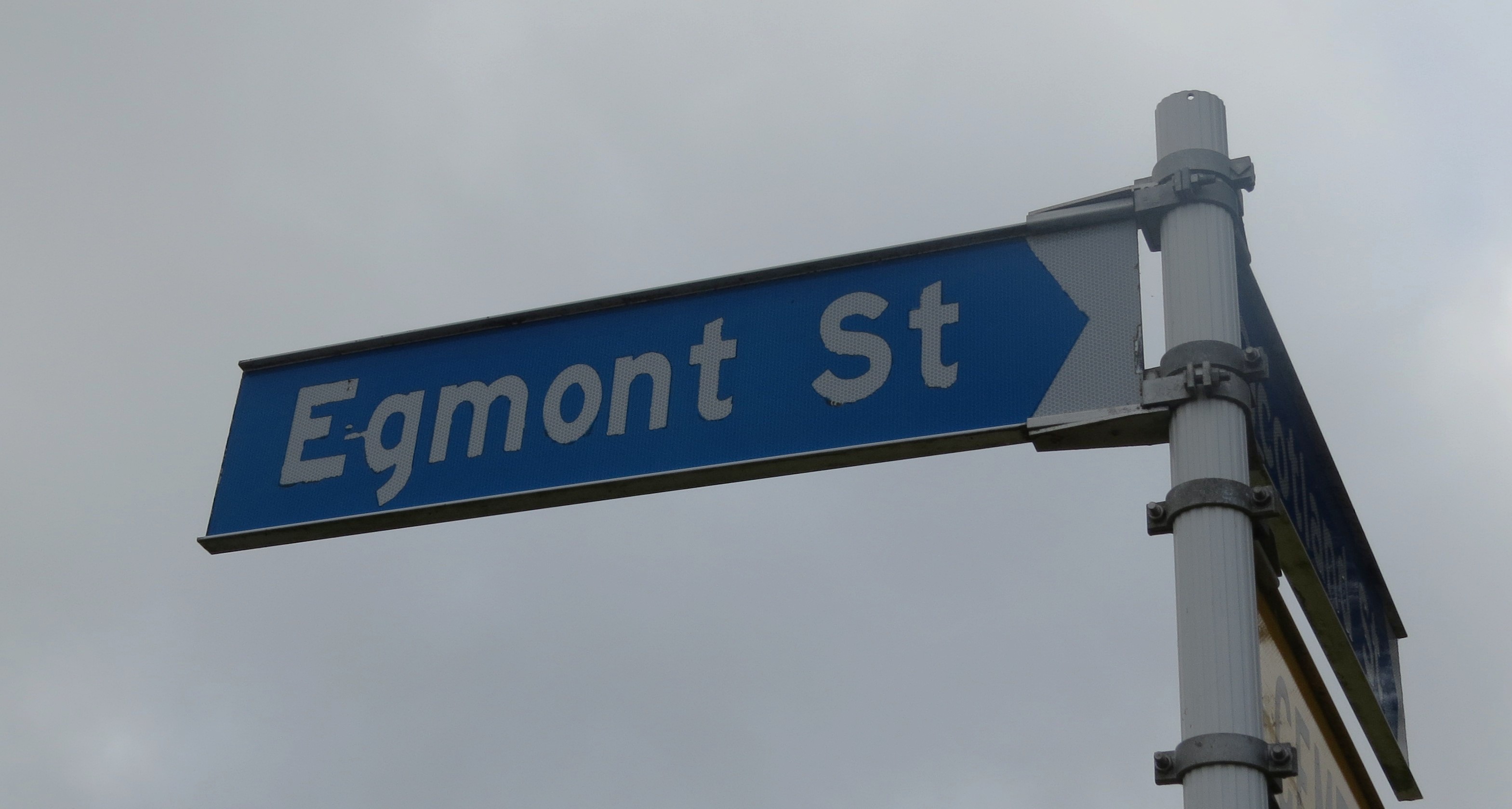
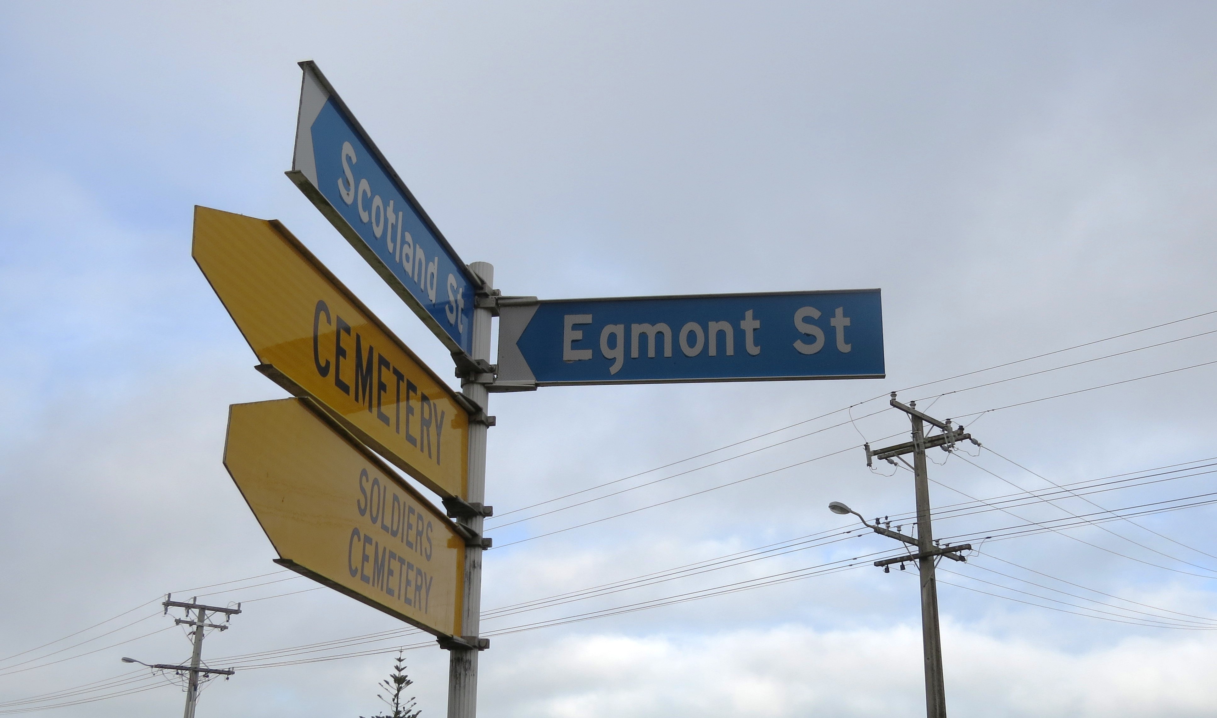
Smith drew up what is now Egmont Street as simply an extension of the long thoroughfare called Taranaki Road. But the part of that road which passed through the newly-located town also had a name change in 1881 with the Town Board adopting Egmont Street instead – presumably because of the aforementioned view.
Businesses had to update their advertisements, reminding patrons that they were now located on Egmont Street “(late Taranaki Road)” in case of any confusion.
Pātea County Council embarked on the work of tar sealing Egmont Street in 1917 and spent a grand total of £30,000 over the next six years on it and Taranaki Road.
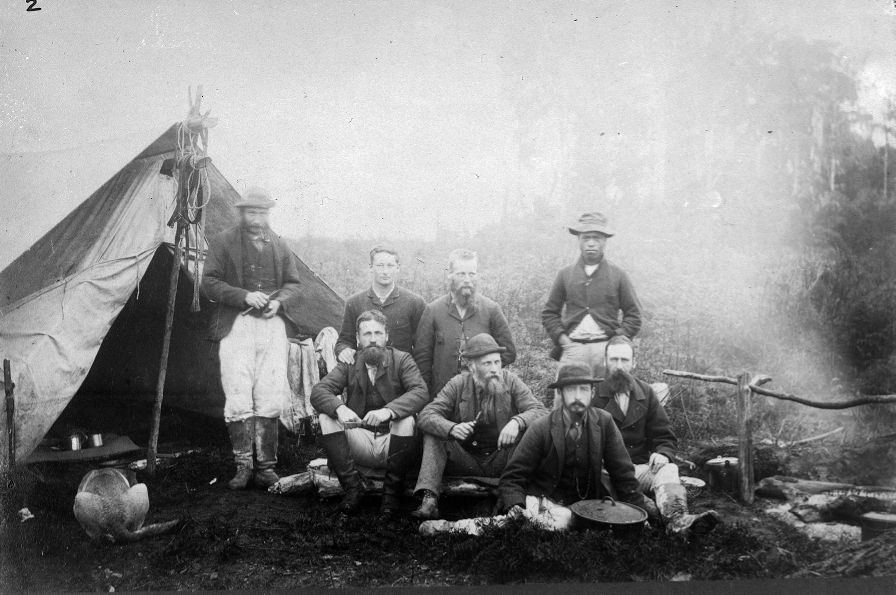
When Stephenson Percy Smith embarked on his survey of Taranaki in 1866-1867, he described the area around Pātea in his Reminiscences as being “very beautiful country… covered with fern… bounded inland by the virgin forest at an average width of about four miles from the coast”. He and his team, which included his brothers Frank and Harry, were “paid by the mile” for the 18 months they were away, camping in military bell tents in all weather – including Pātea’s infamous sandstorms – with few opportunities to wash. His recollections provide a glimpse of a long-vanished past: “The country north of the Pātea River formerly belonged to the Ngāti Ruanui tribe; that in the Waitotara block to the Nga Rauru [sic]… [and] was very thickly populated with strongly palisaded pas every two or three miles, none of which remains”.
Smith, a fluent speaker of te reo, may have been amused to see the town change its name from English to Māori, at the same time as the Māori name for his main street was discarded in favour of an English one.
This story was originally published in the Taranaki Daily News.
Stephenson Percy Smith: Surveyor Extraordinaire
LinkPlease do not reproduce these images without permission from Puke Ariki.
Contact us for more information or you can order images online here.
The information on this website is provided for general research and reference only. While we try to keep content accurate and current, we make no guarantees about its completeness or correctness. It should not be considered a replacement for a LIM or a Property Report. Some content is supplied by third parties. Puke Ariki has not verified this content and users should check its accuracy before relying on it.The inclusion of a building on the website does not imply heritage status. See SCHED1 in the NPDC District Plan for a list of buildings that have rules about what can happen to or around them (administered by NPDC). See the New Zealand Heritage List for a list of buildings that are celebrated for their heritage significance but are not subject to rules (administered by Heritage New Zealand Pouhere Taonga). Should any corrections need to be made to the records or for more information please contact us.


