

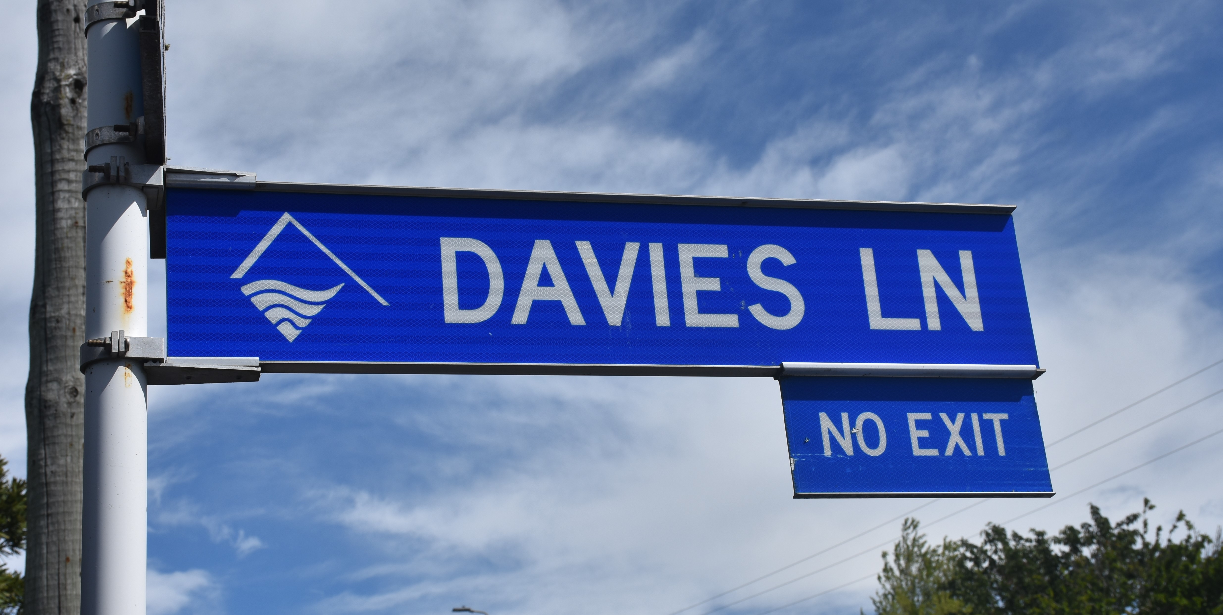
Davies Lane is a short cul-de-sac off Belt Road providing one of two access points to West End School. Before the school was built it was simply identified as a “right-of-way” leading to the Bonithon Estate. This was the name James Cragg Sharland gave to his 22-acre property, bordering the town of New Plymouth.
James and his wife Alice arrived in New Plymouth in 1847 and he quickly established himself as a successful businessman. Following the sudden death of his wife’s sister Ellen and her husband Thomas Davies, both in 1850, the Sharlands took on the care of the Davies’ two young sons and daughter.
The Sharland family left for Auckland in the late 1860s as the impact of war in Taranaki disrupted James’ business interests. However, their nephews, William Bolland Davies and James Caddy Davies remained in New Plymouth. Eventually the right-of-way would be named after the two men, presumably because of their connection with Bonithon Estate.
The estate was subdivided in 1899 and in 1925 the Education Board purchased a five-and-a-half-acre block as a new site for West End School. The school opened at the beginning of 1927 and by June of that year the right-of-way was already said to be in “a very bad state”. At a meeting with the council, it was agreed that the lane, “sometimes known as Davis Lane (sic) and sometimes as ‘Duck’ Lane… was a disgrace to the borough”.
Confusion over the name of the lane had persisted for several years. For some reason, it was recorded as Davis Lane on plans, in street directories, electoral rolls and local newspapers.
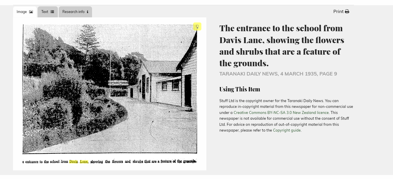
The poor condition of the lane was also an ongoing problem, with the Taranaki Daily News reporting in 1932 that “Davis Lane [sic]… was very slippery and several children had fallen”. The lane was finally metalled in 1935, with the footpath also filled in and gravelled.
While this made the walk to class safe for the pupils of West End School, it was not until the 1950s that the correct spelling for the lane became commonplace.
This story was originally published in the Taranaki Daily News.
Related items:
Taranaki DP1516 Sheet 1 (1899), ICS Pre 300,000 Cadastral Plan Index (Imaged by LINZ)
Taranaki DP1517 Sheet 1 (1900), ICS Pre 300,000 Cadastral Plan Index (Imaged by LINZ)
Taranaki DP2936 Sheet 1 (1908), ICS Pre 300,000 Cadastral Plan Index (Imaged by LINZ)
Taranaki DP4797 Sheet 1 (1926), ICS Pre 300,000 Cadastral Plan Index (Imaged by LINZ)
Davies Lane Communal Spa (Taranaki Herald 26 June 1984)
Please do not reproduce these images without permission from Puke Ariki.
Contact us for more information or you can order images online here.


