

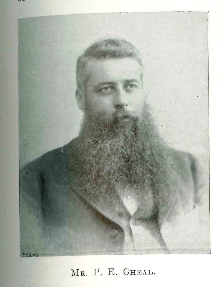
Cheal Rd at Ngāere is named after Peter Edward Cheal (1846-1931), a surveyor who worked in the area in the 1870s and 1880s.
Cheal was born and educated in England where he trained as a mining engineer and surveyor. Aged 18, he immigrated to New Zealand in 1864 and joined the Survey Department in Auckland. He was involved in the military campaign in the Waikato and, later in the 1860s, mapped the Thames goldfields.
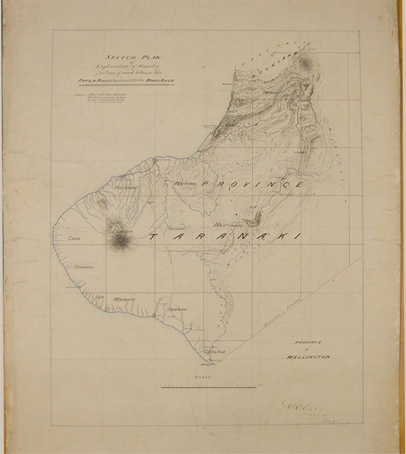
In 1871 he was appointed to sub-divide the Waimate Plains in south Taranaki where his survey parties were often confronted by irate local Māori who were opposing the confiscation of their land. Along with Edwin S Brookes, he was also responsible for the surveying of the townships of Inglewood (1874-75) and Stratford (1878-79) and the rural lands surrounding them. In January 1875 it took them two days of "strenuous going" to walk the 21 kilometres from Inglewood to the site of Stratford.
Cheal returned to Thames in the 1880s where he was in charge of the local Survey Office and, in 1886, moved to Auckland where he set up in private practice as a surveyor and mining engineer.
Both his son, Alfred, and grandson, Laurence, also became surveyors.
Peter Cheal retired in 1919 and died in Auckland in 1931.
This story was originally published in the Taranaki Daily News.
Please do not reproduce these images without permission from Puke Ariki.
Contact us for more information or you can order images online here.


