


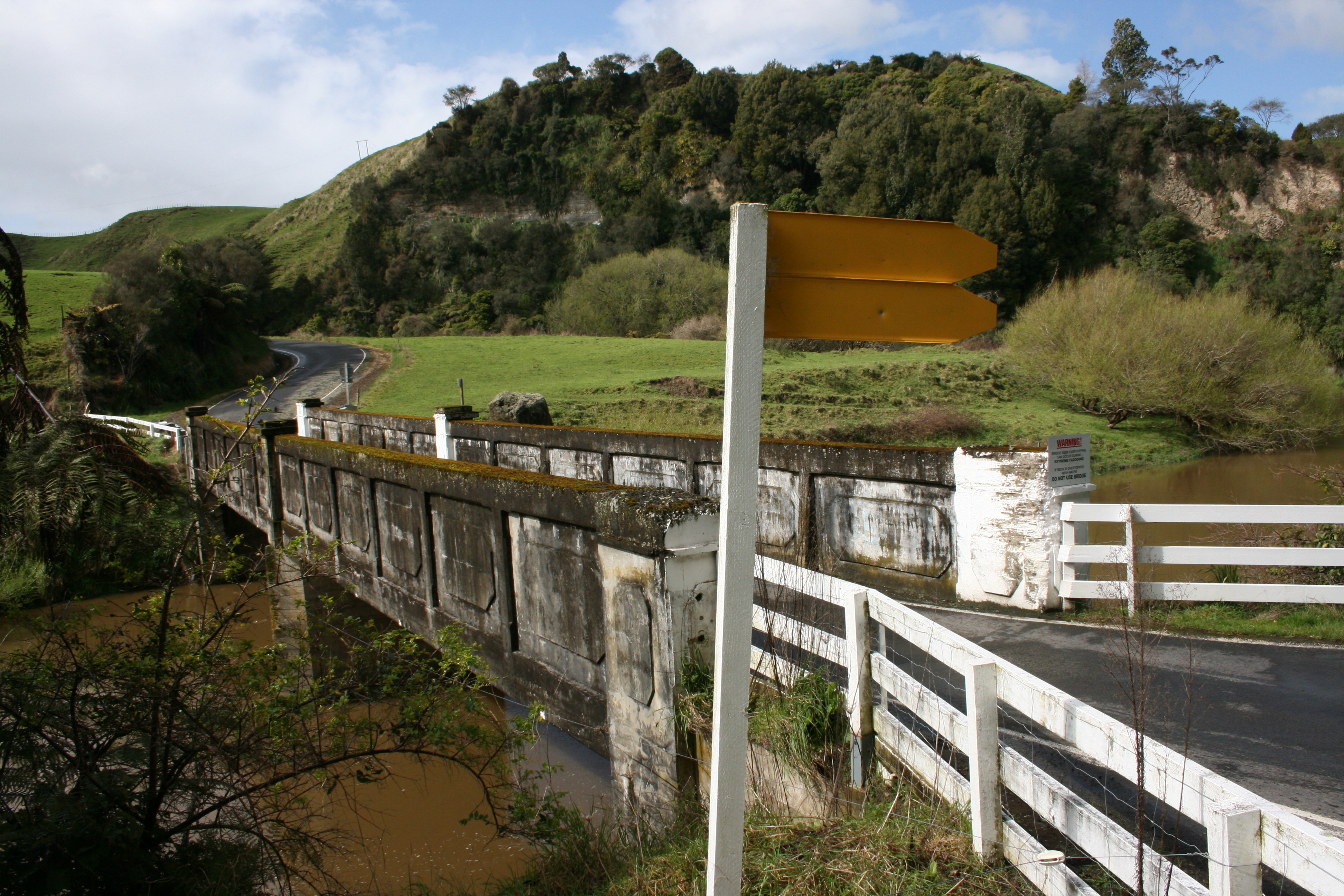
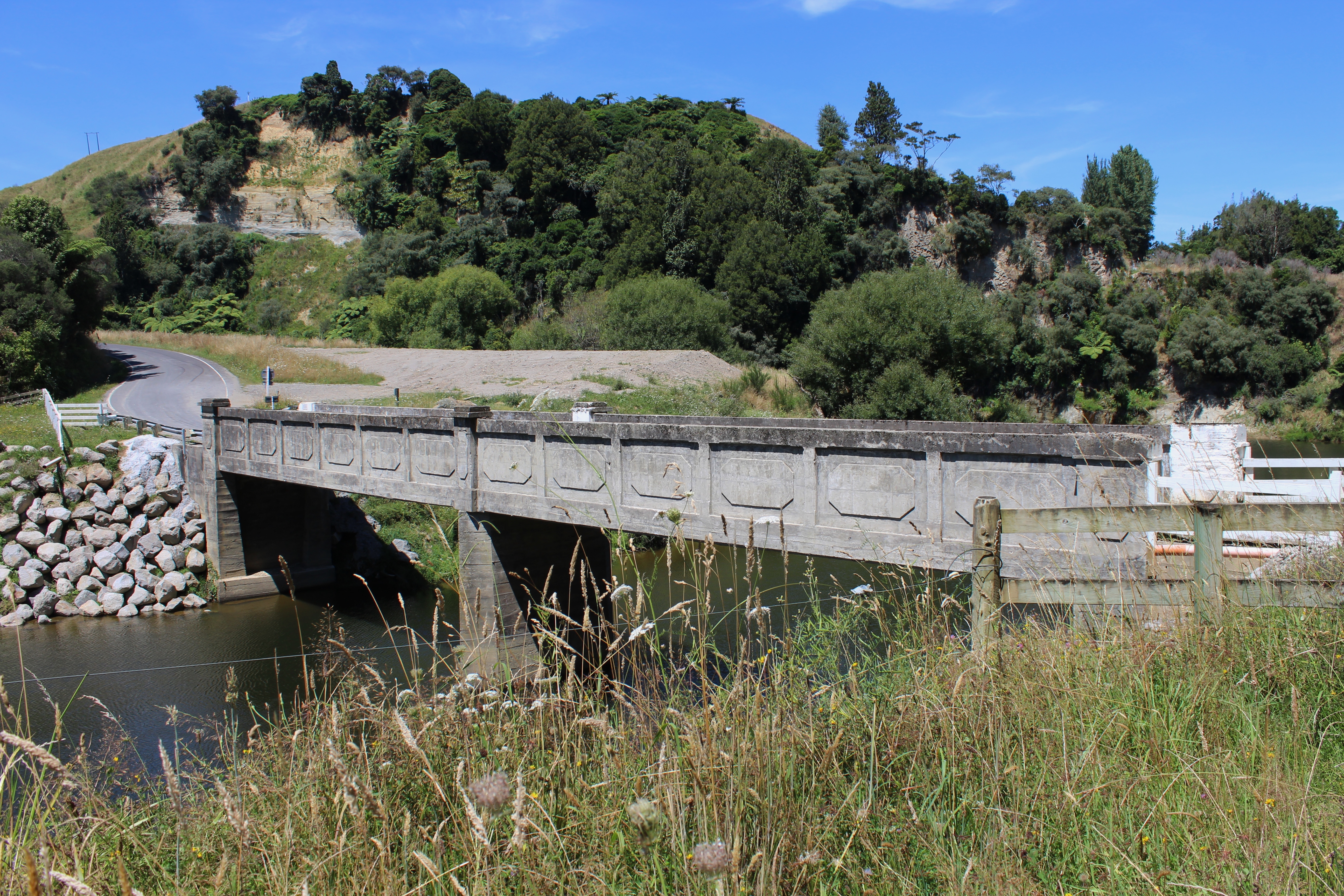
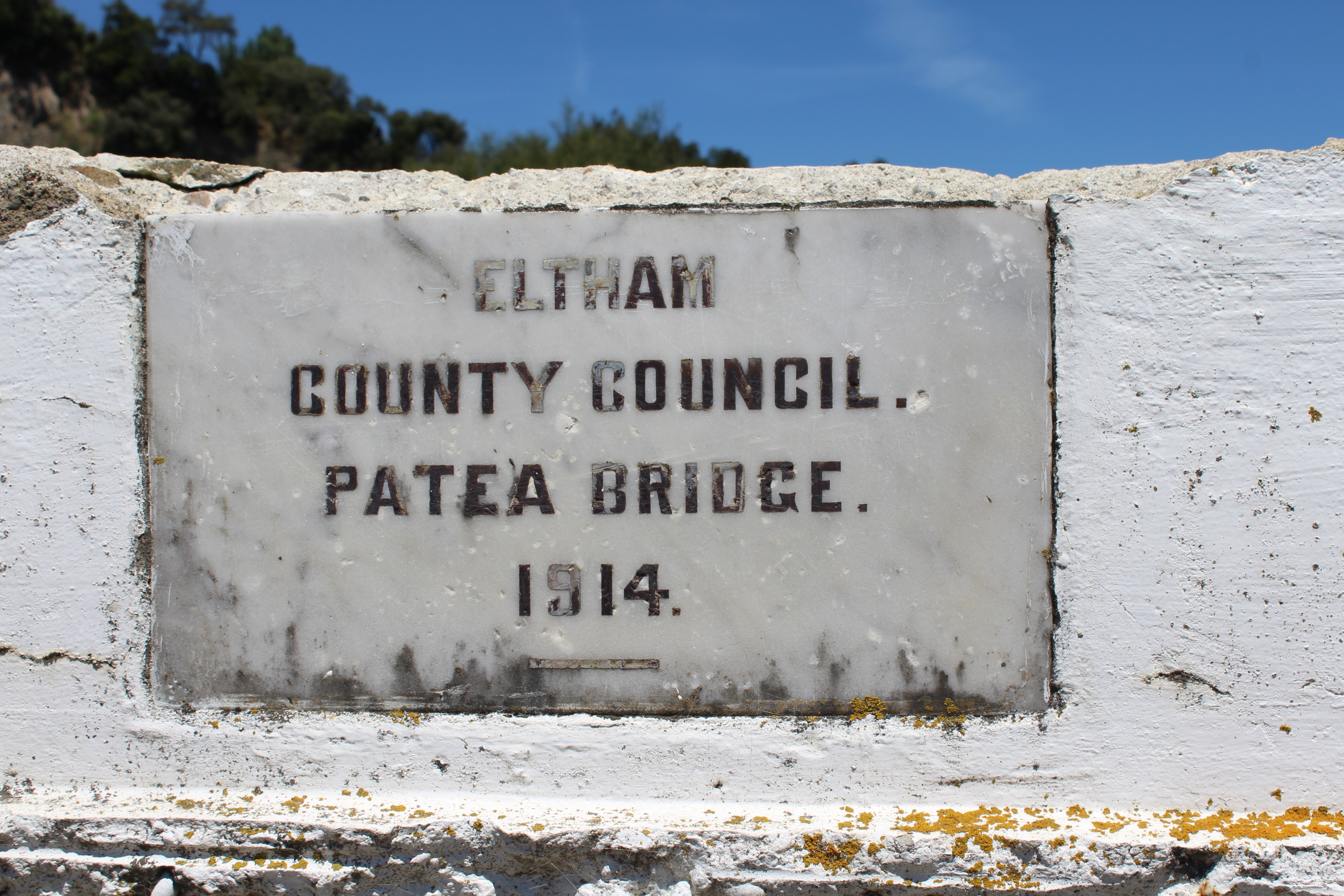
Built in 1914 (Hawera & Normanby Star 15 April 1914) by the Eltham County Council to give access to the remote settlements of Matemateonga and Omoana. The bridge now passes over the upper reaches of Lake Rotorangi which can be accessed at a boat ramp a few kilometres further on.
It as designed by Eltham County Engineer, Frederick Basham, who was given the go-ahead to proceed with construction at a meeting of the Eltham Borough Council in September 1913 (Hawera & Normanby Star 15 September 1913). It was announced at the meeting that the Advances Board had agreed to a £1,000 loan, along with a £900 subsidy which the council agreed was a satisfactory arrangement. In September the following year the council was told that the final cost was £1,950, well within estimates and that settlers now felt, "assured of communication at all times". (Hawera & Normanby Star 14 September 1914)
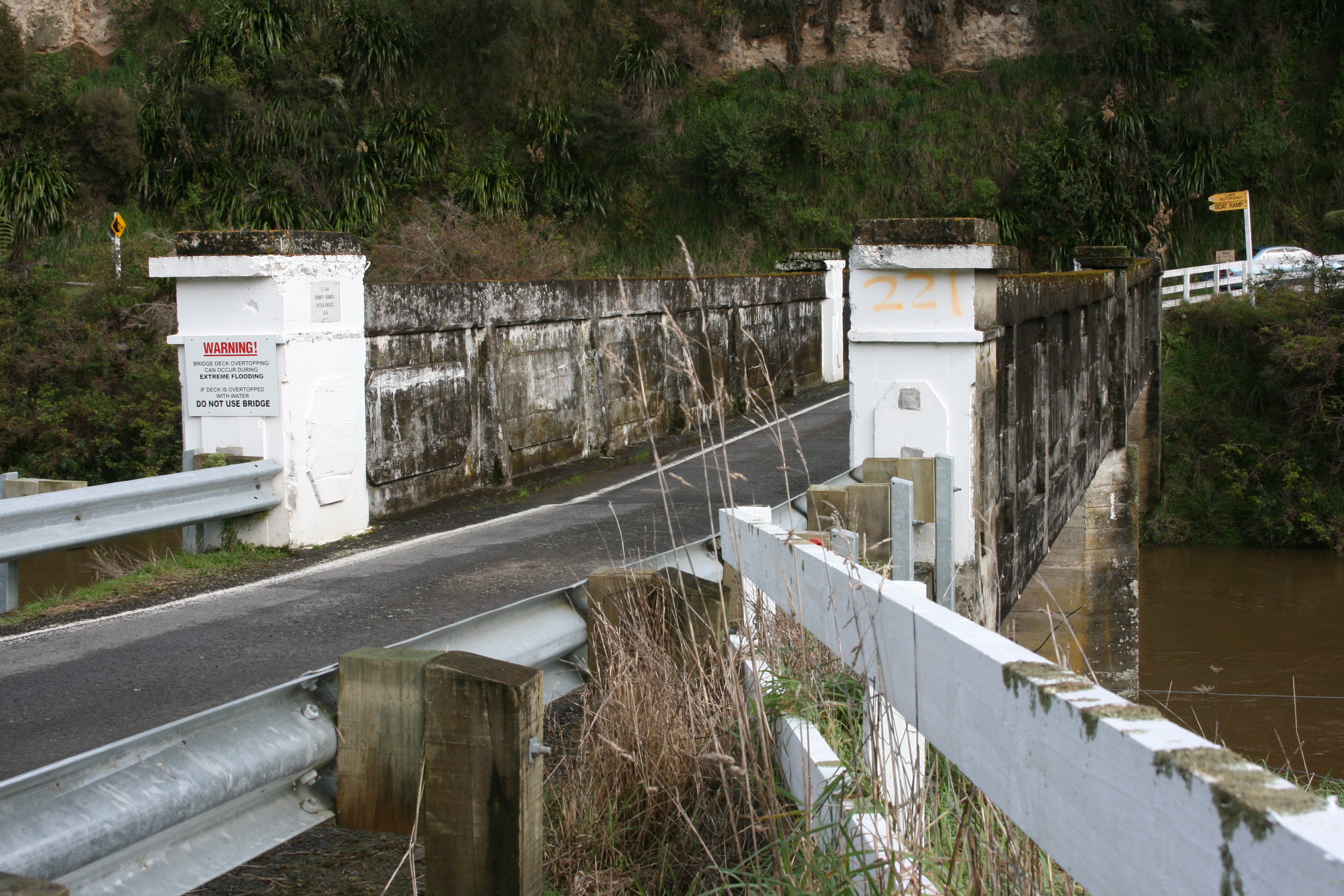
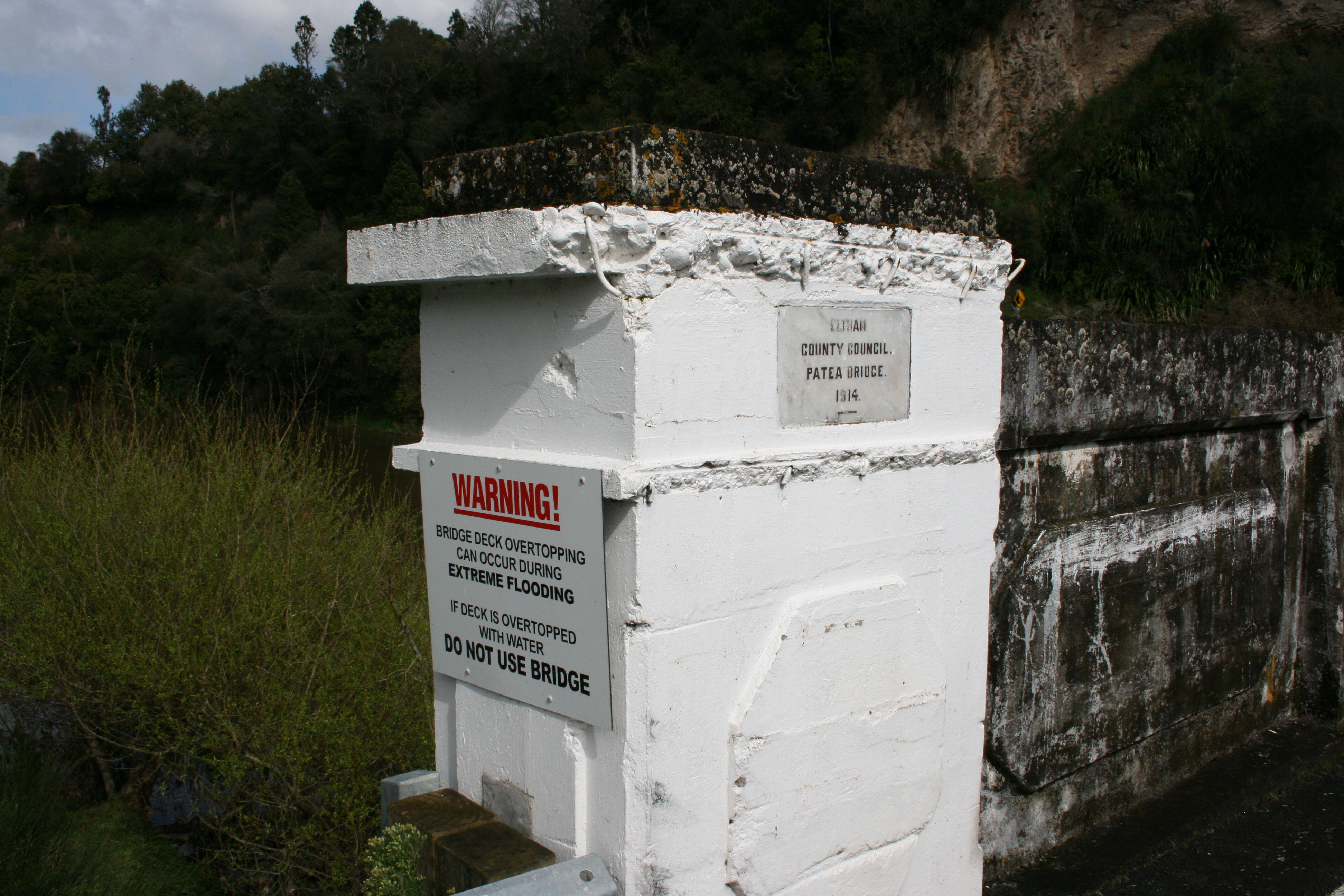
A modern sign exhorts motorists to not use the bridge if the deck is under water.
Please do not reproduce these images without permission from Puke Ariki.
Contact us for more information or you can order images online here.
The information on this website is provided for general research and reference only. While we try to keep content accurate and current, we make no guarantees about its completeness or correctness. It should not be considered a replacement for a LIM or a Property Report. Some content is supplied by third parties. Puke Ariki has not verified this content and users should check its accuracy before relying on it.The inclusion of a building on the website does not imply heritage status. See SCHED1 in the NPDC District Plan for a list of buildings that have rules about what can happen to or around them (administered by NPDC). See the New Zealand Heritage List for a list of buildings that are celebrated for their heritage significance but are not subject to rules (administered by Heritage New Zealand Pouhere Taonga). Should any corrections need to be made to the records or for more information please contact us.


